
ServicesDrone & Aerial
Drone and Aerial Content That Shows the Bigger Picture
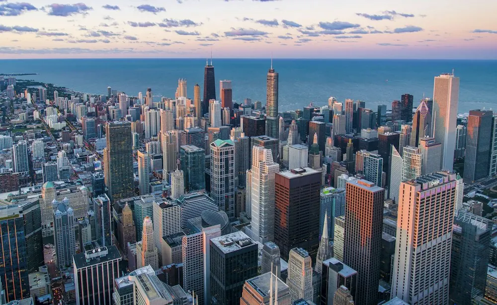
Ground-level content cannot always communicate scale, surroundings or connectivity. archVi creates planned aerial content that helps audiences understand the project within its wider setting.
What We Create
Choose the Aerial Format You Need
Before / After
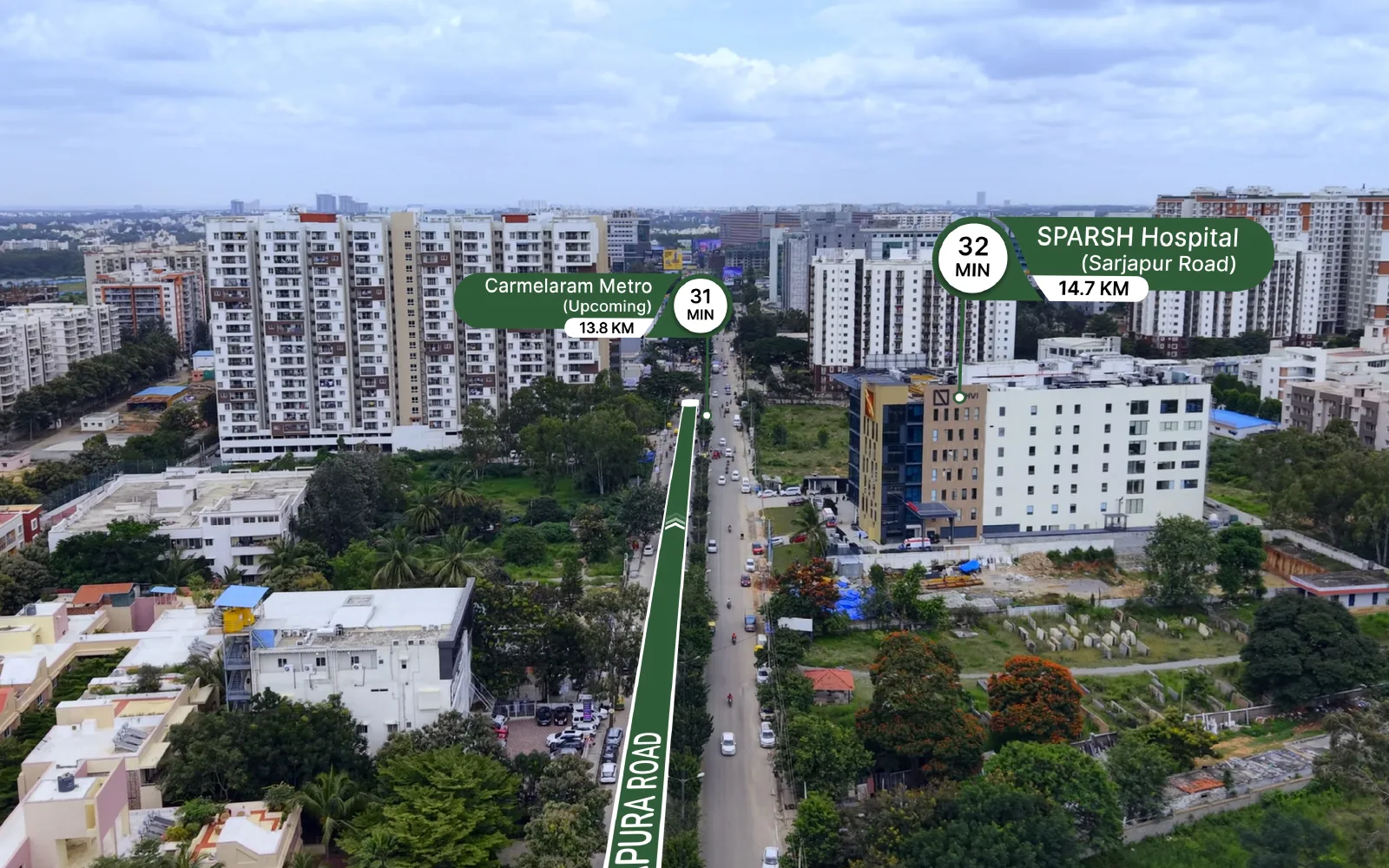
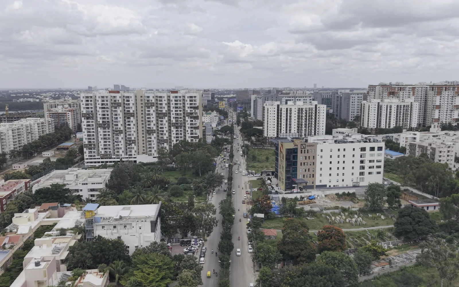
From raw capture to finished frame
Drag to compare the raw drone shot with the finished frame.
Drone & Aerial in motion
See the location the way buyers will
Portfolio
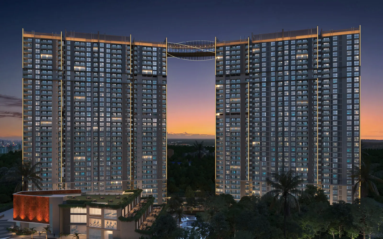
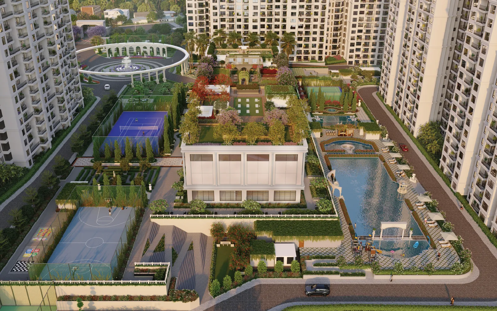
Selected work
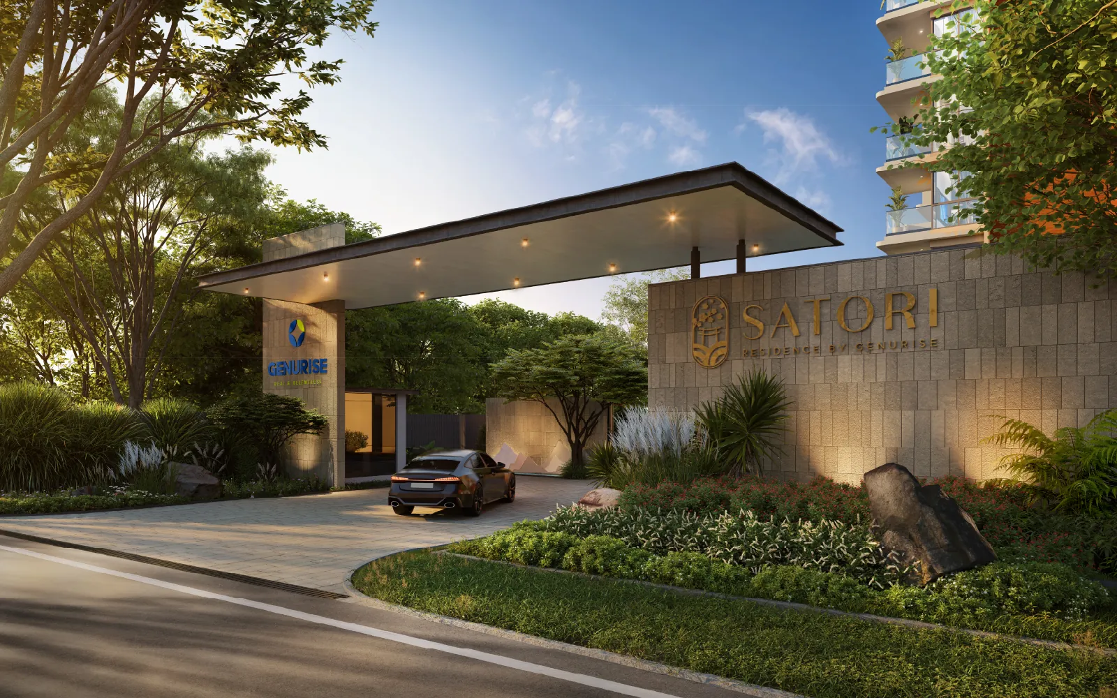
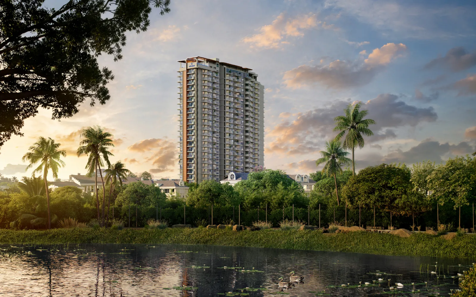
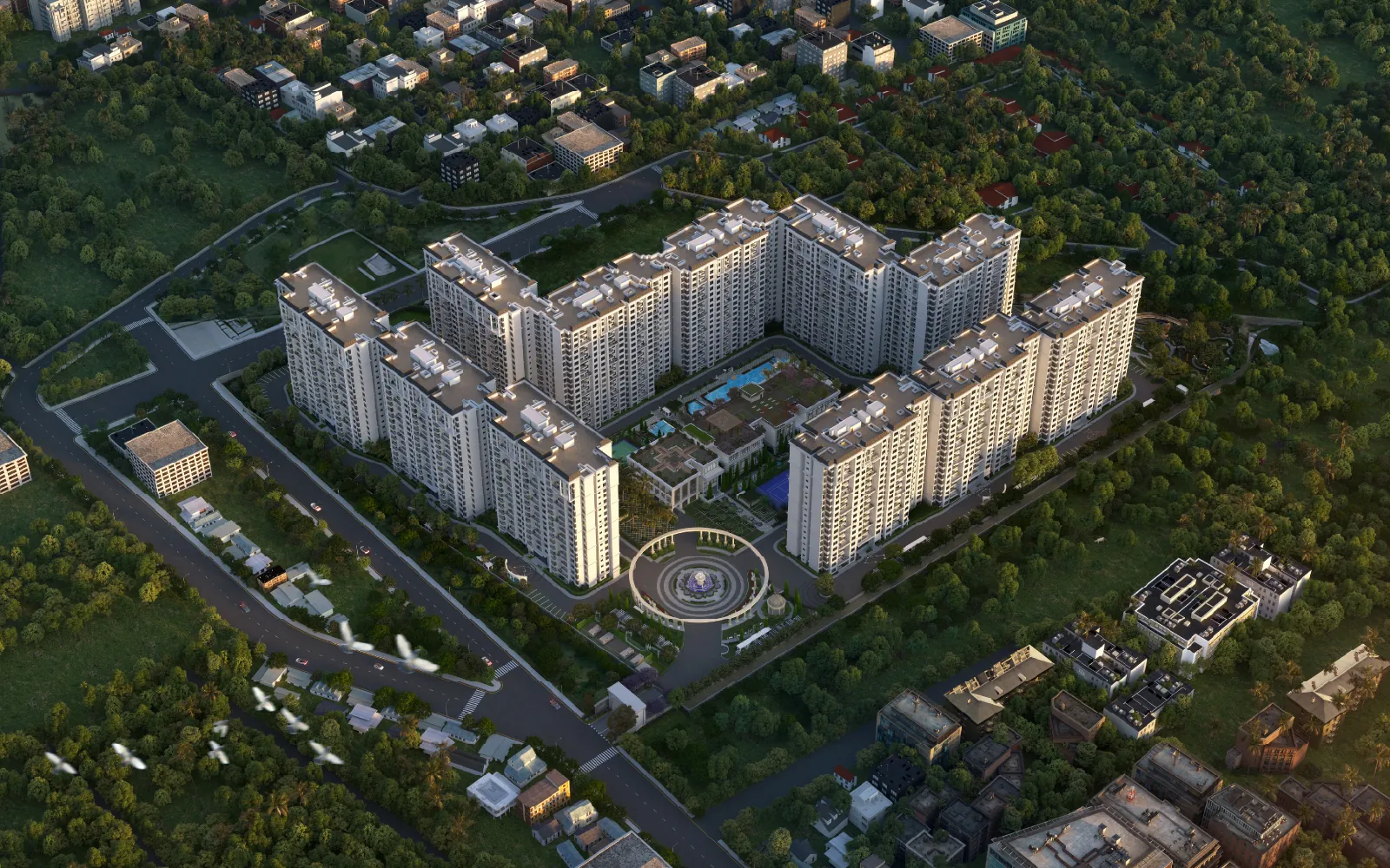
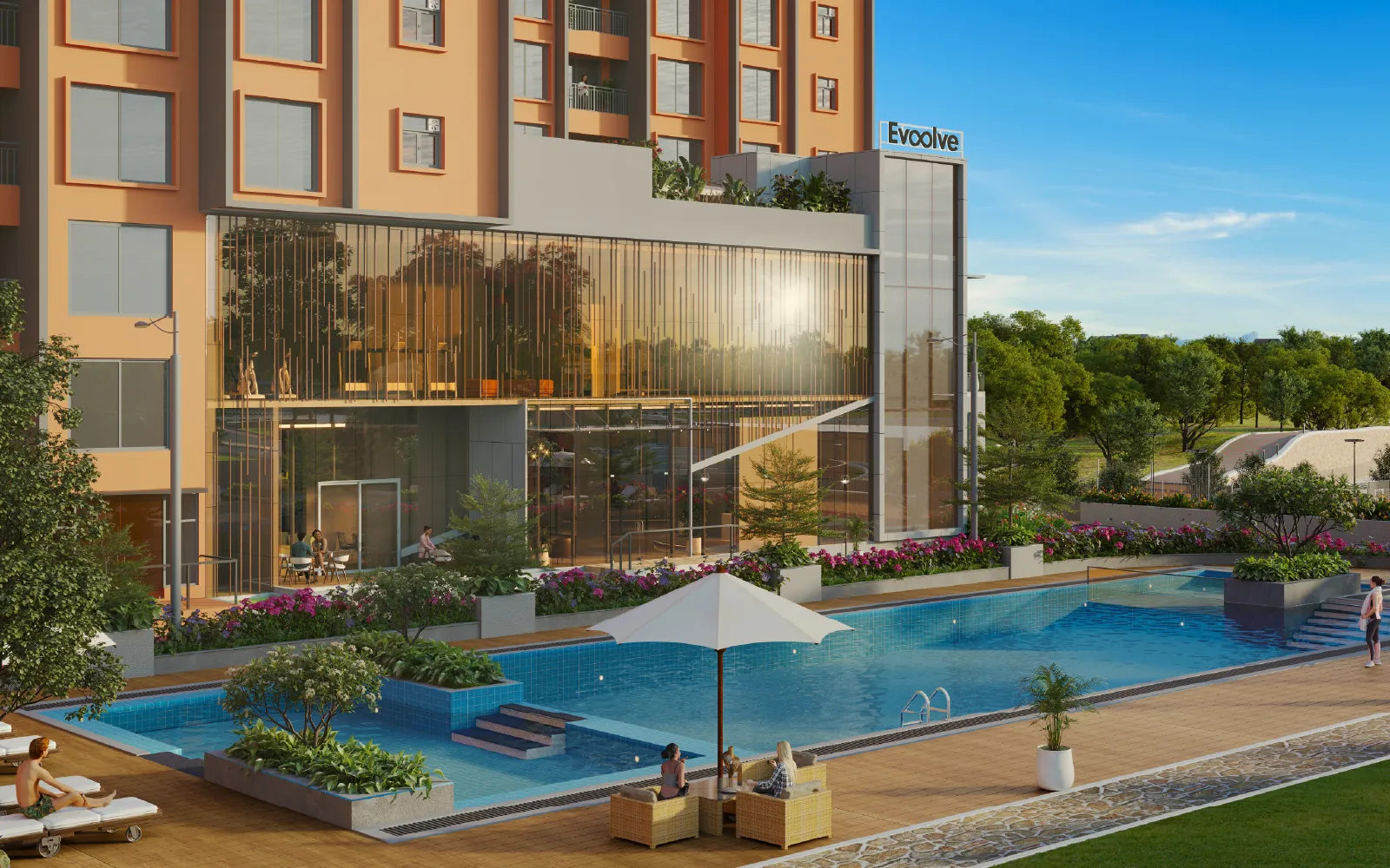
FAQ
Frequently asked questions
Have a project in mind?
Tell us what you need to communicate and we’ll recommend the right formats for your stage and budget.
Talk to Our TeamWhat is included in archVi's Drone & Aerial Content service?
Depending on the brief, the service can include drone photography, aerial films, interactive aerial content, route and connectivity films, construction progress documentation and completed-project shoots. The exact scope depends on the project objective, location, required outputs and agreed responsibilities.
Which real estate use cases suit drone films, aerial photography or interactive drone content?
Drone films work well for project storytelling and launch communication, while aerial photography can provide focused views of architecture, scale and context. Interactive drone content is useful when audiences need a more immersive way to explore a project or its surroundings.
Who is responsible for permissions, site access and flight constraints?
Responsibilities should be established during project planning based on the location and shoot requirements. Site access, permissions, safety requirements, weather conditions and flight constraints should be confirmed before production and assigned to the appropriate parties.
How do weather, location and shot planning affect production?
Weather, site conditions, location restrictions and required viewpoints can affect when and how a shoot is conducted. A defined shot plan helps identify capture points, access requirements and suitable production conditions before the team begins filming.
Can one shoot support launch, connectivity and construction-update content?
Potentially, if the capture plan is designed around those applications from the start. Required viewpoints, project areas and output formats should be identified in advance so the captured material can support the agreed communication requirements.
Where can I see relevant aerial work?
Relevant proof should include drone films, aerial photography, interactive aerial content and project documentation across different real estate contexts. Each example should provide enough project context to understand the requirement and archVi's actual contribution.
Let’s create together
Ready to Put Your Project in Context?
Tell us what you need to show, where the project is located, the intended audience and your timeline. We'll help define the right aerial production scope.